ST. GEORGE – County, city and water officials have filed an appeal to a recent Bureau of Land Management resource plan governing Red Cliffs National Conservation Area in Washington County.
Four conservation groups including Conserve Southwest Utah, a local citizen-based conservation non-profit headquartered in St. George, have also filed a motion to intervene in the appeal. Filing for intervention gives the conservation groups legal standing in the proceeding.

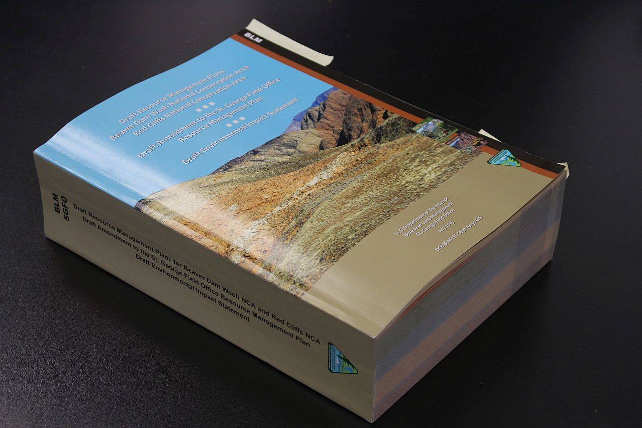
Washington County, St. George City and the Washington County Water Conservancy District filed an appeal February 23 with the U.S. Department of the Interior’s Board of Land Appeals over the resource management plan for the Red Cliffs National Conservation Area.
The main points of contention in the appeal are the lack of a designated route for the proposed northern corridor through the conservation area along with the limited utility protocol.
On March 23, Conserve Southwest Utah, the Conservation Lands Foundation and The Wilderness Society filed a motion to intervene in the appeal. The Southern Utah Wilderness Alliance also filed to intervene March 27.
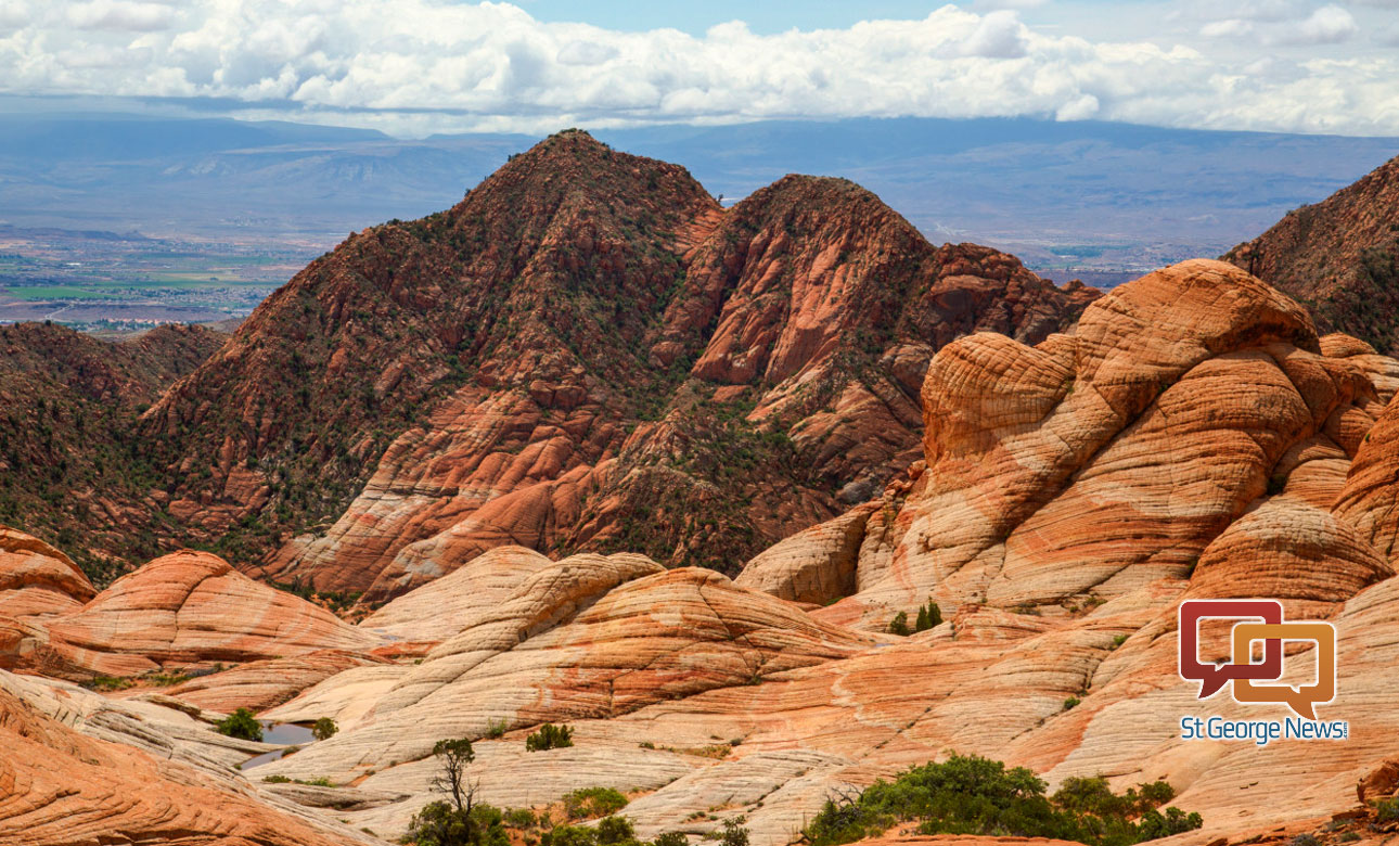
The Bureau of Land Management recently completed resource management plans for the Red Cliffs and Beaver Dam Wash national conservation areas. The plans affect more than 100,000 acres in the county and stirred controversy during the public comment period that ended last fall.
Read more: BLM releases controversial resource management plans; northern corridor still in question
Read more: Commission files protest over resource plans; northern corridor
County officials are exploring every option available to address what they view as deficiencies in the BLM’s resource plans, Deputy Washington County Attorney Celeste Maloy said.

“We’re exploring administrative, legal and legislative options,” Malloy said.
The administrative option is an appeal to the Interior Department’s Board of Land Appeals over the lack of a satisfactory route for a northern corridor and the utility development protocol in the resource plans, both of which are necessary for continued growth in the county, Malloy said.
“What we’re after is adherence to what we thought we got through the lands bill in 2009,” she said. “We still don’t feel like the RMP (resource management plan) is true to that, so we’re trying to move it until it is.”
Transportation planners and county officials believe a northern corridor through the conservation area is essential to alleviate traffic congestion caused by recent and projected growth in the county.
The Omnibus Public Land Management Act of 2009 was a collaborative effort between the county, municipalities, state and federal governments, and conservation groups. The Act’s intention was to resolve conflicts between wilderness and lands use in Washington County.
Language in the Act specified that a northern corridor through the Red Cliffs National Conservation Area be designated; however, the bill’s language has been interpreted differently by the interested parties.
The Interior board is obligated to respond within 30 days of the county’s appeal. The board has already filed a 30-day extension of that deadline, which is “pretty standard,” Malloy said.
Opposition
“The Red Cliffs and Beaver Dam Wash NCAs are extraordinary landscapes, sustaining not only the native habitat but also the recreation and tourism critical to our local economy and the signature vistas of our county’s visual appeal,” Conserve Southwest Utah board president Tom Butine said in a statement.
“CSU and our members have invested heavily over the past 11 years to establish these protected lands and care deeply about their value to those who live and visit here. We hope to continue the dialog with our county commission to understand and resolve the issues.”
With their motion to intervene filed, the conservation groups are closely watching the appeal process.
“The practical implications are that we can contest any ruling or settlement that we don’t agree with,” Butine said. “For example, if the appeals board rules that the BLM must allow the northern corridor, we can legally challenge the ruling. Or if the BLM decides to settle, we can challenge that if we don’t agree with the settlement. In the worst case, we can appeal in federal court.”
The Red Cliffs and Beaver Dam Wash national conservation areas were established by legislation in 2009 after years of collaboration and input from the public and other stakeholders, Butine said.
The Red Cliffs National Conservation Area was designated in large part to protect habitat for the threatened Mojave Desert tortoise while allowing development in other areas of Washington County. This compromise was agreed to and signed by officials in Washington County as part of a Habitat Conservation Plan in 1996.
Read more: Officials take new philosophical approach to HCP renewal, brainstorm for solutions
“The plan was the product of years of hard work and public input,” Phil Hanceford, assistant director of The Wilderness Society’s BLM Action Center, said. “It is a shame to see government throwing away resources on legal action and going back on commitments made during negotiations around the designation of the National Conservation Areas.”
Danielle Murray, senior director at Conservation Lands Foundation, said “construction of a highway through a National Conservation Area designated by Congress to protect desert tortoise habitat does not make sense.”
“The final RMP gets it right. It reflects the overarching intent of congress and six years of input from stakeholders. We intervened to ensure all this hard work that led to a sensible plan is not undermined.”
Email: [email protected]
Twitter: @STGnews
Copyright St. George News, SaintGeorgeUtah.com LLC, 2017, all rights reserved.
We have a “huge” opportunity to cut through the unproductive BLM redtape during the next four years of Trump.
St. George is going to continue to grow, and will undoubtedly spread out. The Southern Parkway provides an easy eastern bypass of the congestion along the I-15 corridor. We need a limited access Parkway along the west side, and the planning has already been done.
Now is the time to do it.
I suspect that it’s “unproductive BLM red tape” if it supports something that you’re opposed to or doesn’t support something that you support, right?
City and county damn well better prove there is a need for this route.
Only people in Diamond Valley, Winchester Hills and Dammeron Valley might like a quicker route over to the 15 so we can go North, but we are not THAT many.
Only developers want a route there so they can build mult-million dollar view homes (after whining, crying, and “land trading”).
Take it to the bank.
The ideal plan for a northern corridor is to continue Red Hills Parkway east, right where it turns south (half way between highway 18 and Pioneer Park), through the “avoidance zone”, just south of the substation, above Green Springs golf course, and over to the newer Washington exit of I-15.
That would benefit all of Dixie Downs / Southwind area, Snow Canyon Parkway area, Santa Clara, Ivins, Green Valley, Winchester Hills / Ledges and north, and Gunlock. That is a LOT of traffic to divert off Pioneer Parkway and St. George Blvd. It doesn’t cut through anything but sage brush.
Green Springs resident will pitch a fit because people will come down their road to go to Costco, etc, but they’ll get over it.
One day, I think a lot of Mormons are going to stand before the judgement bar and asked to account for their treatment of this planet their God provided for them. I get the feeling a lot of them are going to be shocked when they realize how much God likes this place as it is and didn’t appreciate their treatment of it.
The northern corridor is a pie in the sky wish and hopefully cooler heads will prevail and preserve.